More than likely, you already know how to get to work by car. But do you know how to get there by foot?
Now that you’ve made the decision to try run commuting, you need to find the best way to get to your office. Normally, this means the shortest way to work. But it could also be the least hilly way. Or the most scenic. The choice is yours!
There are many options on the web to help you plan your route. Let’s briefly check some of them out:
StepWhere

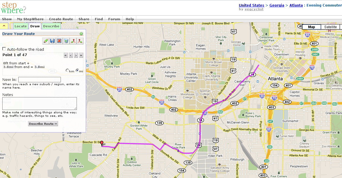
StepWhere is my go-to route planner. It’s simple, easy to use and has a fairly active community of users . It uses Google Maps as it’s structure and it also allows you to import GPS data (GPX files.)
You can add notes or descriptions about the things around you, as well. I found this very useful when sharing longer, off-road routes with others who were going to run one of my routes on their own – (“look for the orange marking tape on the trail near the railroad tracks.”)
MapMyRun

I just recently checked this out and I’m impressed. It’s been around since 2005 and I’ve heard lots of good things about it from regular users, so I decided to take a look at it just for you.
What the… 3D FLYOVERS OF YOUR ROUTE!!! Whoa!!! Impressive.
At a glance, it has a nicer looking interface and uses the same Google Maps structure that StepWhere does. Most features are the same, with a few interactive extras (share on social networking sites, “I’ve Done It/I’d Like to Do”, thumbs up/down.)
WalkJogRun

Pretty much the same as the rest with a lot of users (154,000+) and routes mapped (1,000,000+ ).
How To Use These Sites
First, decide how far you want to run to work. It may begin as be all the way to work from your house. You may only be comfortable running 1 mile. Great! Remember that you may want to start short since you will probably be bringing things to work with you, too, so that will add some weight. Try this after you’ve decided which site to use:
- For beginners, enter your work address as your start point (for the more advanced runners, your start point will be home and the end point will be your office).
- Make a few maps to see how far out 1/2 mile takes you and find a route that’s relatively flat.
- If you drive, find somewhere to park for the day 1/2 mile away. If you take public transportation, look for a nearby bus stop or a train station. If you bike, find somewhere where you’re comfortable locking your bike up for the day.
Ideally, you will test this route out beforehand on a weekend (or even on a lunch break) just to get a good feel for it to ensure you made the right choice.
Now you’re set! Almost… In Part 3, we’ll talk about the things you may want to carry with you on your run commute and how best to takes them with you.
Expect to be surprised by what routes are possible when you run instead of drive. In a car you drive by all kinds of cut-throughs, short cuts and hidden trails.
To keep things interesting, I use several different routes on my commute.
Also, dragging the little yellow man to the map on google really helps you scout out safe routes.
I did my first run commute the other day, and as I had to cross the city on my run, I didn’t take traffic lights into account. I ended up taking 10 minutes longer than I had anticipated.
I’m now trying to find an alternative route in which I don’t have to stop so often, but I’d love to hear from others about how they feel about stopping at traffic lights all the time.
Congrats on your first run commute!
I have a love/hate relationship with traffic signals. There are definitely days when I’m not feeling my run, so I’m thankful to have a quick break at a light once in a while. On most days, though, I like to keep moving.
When lights are spaced out a bit, I’ll look ahead to the next signal and change how fast I run in order to make the crossing signal once I get to it. I also have two other routes I can take that have fewer lights. It’s nice to have other routes anyway in case of road closures for construction or just in case you get bored of one of your other routes.